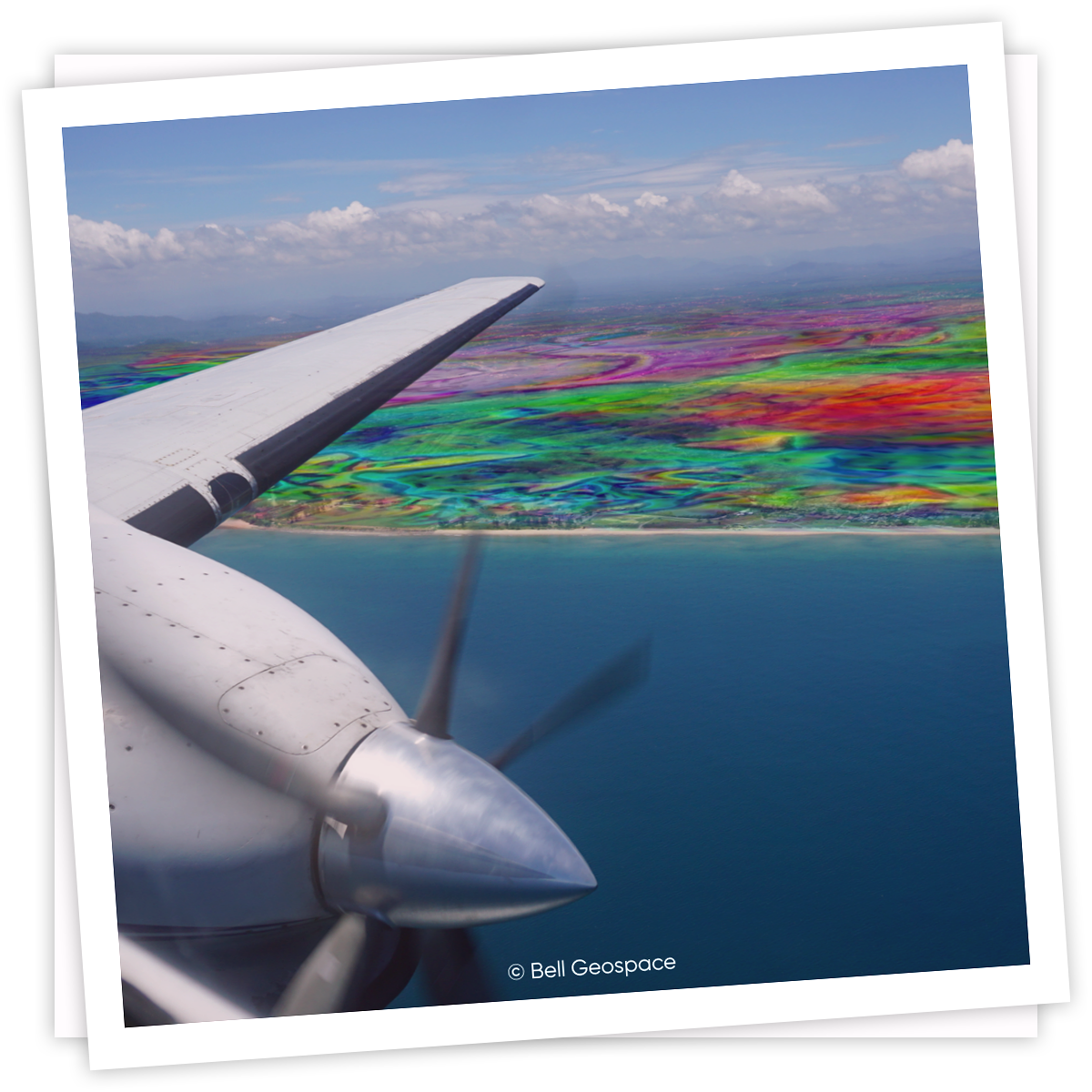
Airborne Full Tensor Gradiometry (FTG) data is helping operators optimize 2020/21 budgets
Bell Geospace is fortunate to have been back in the air since June 3rd 2020

FTG To Derisk Geology
Working with prospective ground can often come with a series of hazards and risks. Whether it be the risk of drilling in the wrong area, or more hazardous risks to safety, by making use of Bell Geospace FTG technology, it’s possible to significantly reduce the level of risk involved. In this article, we’ll take a look at how FTG can derisk complex geology by explaining some of the technology’s capabilities and discussing a practical case study.
FTG and Rock Density
FTG works by looking at changes in density in the rocks. This means that the technology is exceptionally useful for defining geological features such as volcanics, salt bodies, buried channels, and shallow basement features.
Case Study: Acreage in the Permian
Let’s take a look at an example to demonstrate how FTG can play a huge role in derisking geology. In the scenario, an acreage owner in the Permian was struggling to obtain a regional understanding of what may be happening in and around their acreage.
The Decision to Use Airborne Data
In this instance, purchasing three dimensional seismic outside of the area of focus was not cost effective. Some of the karst features responsible for loss of circulation have been encountered in the first few 100 feet where seismic control is inconsistent and there is no surface expression indicating a problem. High resolution airborne data is a great first step towards assessing risk.
Hazard Mapping with FTG
A possible hazards map can be interpreted from high resolution FTG. This map can show data for shallow karsts, shallow and deep faults and basement intrusives, which are associated with many well problems across the Permian Basin.
To generate the hazards map* a combination of intersection density, magnetic features, lineaments derived from the FTG and basement faults and fractures was used.
More recently there’s been heightened demand for a better understanding for the fault framework in the Permian. FTG is adding another crucial layer of understanding, both regionally and locally. Permian operators can also use this data for tracking the migration of water along fault networks.
The Shallow Velocity Model
Seismic in the Permian has inconsistent control of the shallow section. Therefore, the seismic-derived shallow velocity model is fairly inexact. Traditionally, the lack of detail in this type of seismic would have introduced a range of risks. FTG, however, can significantly improve the shallow velocity model.
Data courtesy of Schlumberger | Tomo | Xtreme Geo
By taking the initial velocity model and converting it to density, we can replace the first few hundred feet with a much more detailed model that shows all of the FTG anomalies.
This is then converted back into velocity and the correct time corrections are applied. This process is what you are seeing in the video of the seismic trace images (above).
Once corrected for time using the FTG shallow section detail, all of the different versions of each line are improved. The key is to get optimal accuracy and specificity early in the processing workflow, as this will save a significant amount of time and money.
The Takeaway
By incorporating FTG in your business’ data collection process, you have the chance to greatly improve your understanding of prospective land. FTG can provide up to 50m spatial wavelength resolution over an entire survey area. With these highly accurate maps that will give you a reliable understanding of risks such as shallow karsts, shallow and deep faults and basement intrusives.
Thanks to the affordability of FTG, acreage owners can study their own acreage and neighboring area. This regional information can be used to better inform local decision making.
To discover the full range of possibilities that come with FTG, read more about Bell Geospace, or request a virtual meeting to see all the images associated with this project.
*Interpretations by Bill Cathey Earthfield Technology |Flatirons Geophysical
Xtreme Geo | Tomo | Schlumberger
.png?width=300&height=61&name=BellGeo%20Logo%20Master_cropped%20(1).png)