
SVT covers Boliden Employment of Airborne Geophysical Surveys to Discover New Mineral Deposits in Västerbotten
14 August 2024
As global demand for critical minerals continues to grow, countries like Sweden are turning to advanced geophysical techniques to unlock the potential of underexplored regions. A recent report from SVT Nyheter highlights how Swedish mining company Boliden is conducting airborne gravity and magnetic surveys over Västerbotten County in search of new mineral resources.
At Bell Geospace, this story is a familiar one—and it reinforces why airborne Full Tensor Gradiometry (FTG) is a powerful tool in modern mineral exploration.
Airborne Geophysics: A Proven First Step
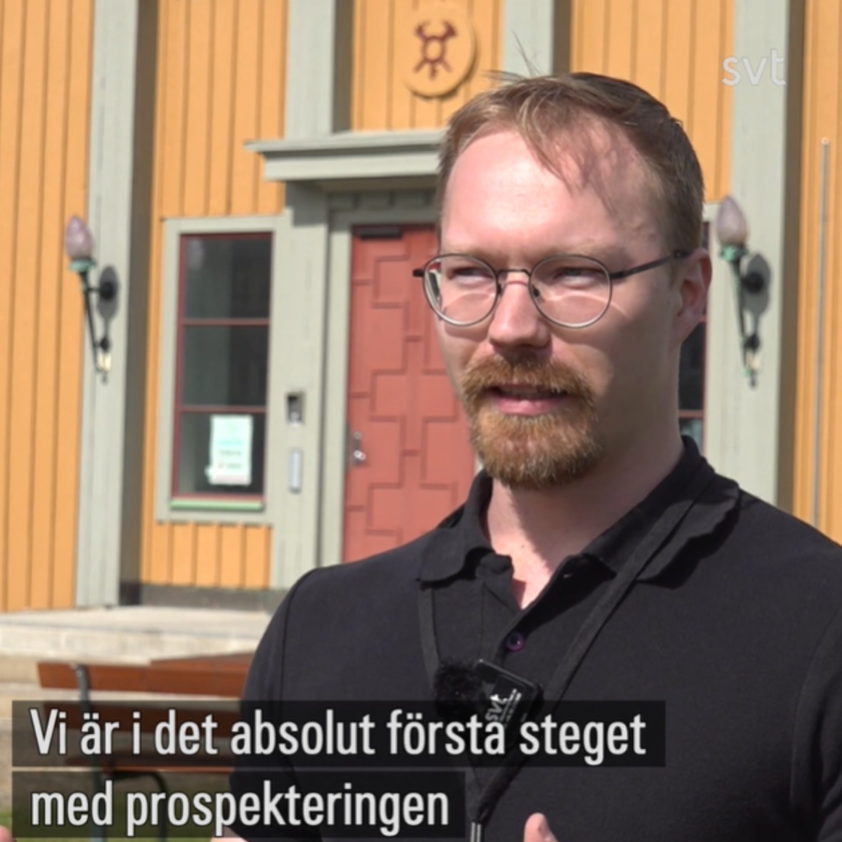
The SVT report showcases how Boliden is using an iconic DC-3 aircraft to carry out large-scale regional geophysical surveys. Their goal? To map underground geological structures that might signal the presence of valuable mineralization.
“We’re looking for structures, not specific metals at this point,” says Boliden geophysicist Ahti Voutilainen in the interview. “It’s about finding the right areas to investigate further.”
This early-stage reconnaissance is exactly where FTG excels—providing detailed, high-resolution gravity gradient data that can reveal faulting, intrusive bodies, and favorable structural zones, all from the air, and with minimal environmental impact.
Sweden’s Mining Future and Bell Geospace’s Global Experience
Sweden is a key player in Europe's green energy transition, and the need for domestic sources of copper, nickel, and rare earth elements is growing. Airborne gravity surveys are a strategic, cost-effective way to rapidly screen large areas—especially in terrain where ground access is limited.
Bell Geospace has flown over 2 million line-kilometers of FTG surveys across the globe, supporting mineral exploration from Norway to Latin America, Africa, and Southeast Asia. Our clients—governments, juniors, and majors alike—use FTG to:
-
Define basement structures and shear zones
-
Locate concealed intrusions and faulted contacts
-
Guide drilling campaigns and reduce exploration timelines
Why FTG?
Compared to conventional gravity, FTG provides all components of the gravity field tensor, allowing for better interpretation of complex geology—especially in tectonically active or glaciated terrain like northern Sweden.
-
High resolution, fast acquisition
-
Airborne method, low environmental footprint
-
Ideal for regional-scale reconnaissance and targeting
Learn More
Bell Geospace supports mineral exploration teams globally who are seeking to derisk early-stage acreage and improve targeting confidence. We applaud the visibility that projects like Boliden’s are bringing to the value of airborne gravity surveys
Watch the SVT news segment and read the original article (in Swedish)
-