Why Would You Need FTG?
- Geological mapping, from regional plays to targeting prospects
- Locating mineralized contact zones and faults
- Deciphering porphyries, diatremes, channelised placers
- Locating volcanic massive sulphide deposits
- Avoiding potholes and geohazards
- Collecting data in challenging terrain, remote areas and urban settings
- Exploration projects when data intelligence is required immediately
For an overview and some sample case studies, please check out this twenty minute presentation recorded by our Chief Scientist Colm Murphy for ORE GEOLOGY conference, 2021.
Why Density Matters
Gravity and density help identify mineralisation zones in the subsurface due to contrasts in the geology which are measurable with a gravity gradiometer. The technology measures the rate of change of gravitational acceleration due to underlying rock properties.For an interactive overview of why density matters, check out the Minerals and Gravity Gradiometry podcast recorded by Gaud Pouliquen, Bell's resident Potential Fields expert along with guest Exploration Manager, Tim Wright.
What Makes FTG Different?
Full Tensor Gradiometry is superior airborne data. Bell's highly accurate and unique methods deliver an accurate perspective on the earth's internal density contrasts and provides a rich perspective on fine structure and short wavelength characteristics of the field.
FTG picks up the shape of the target geology being surveyed - the top, the sides, the edges and the bottom, in 3D. FTG can provide ground gravity resolution exponentially faster and at a fraction of the cost.
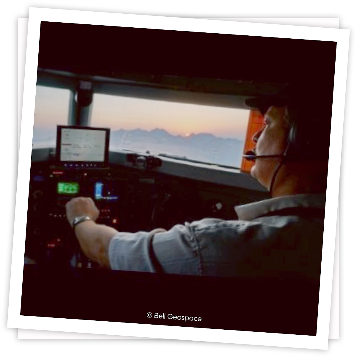
How is Data Acquired?
We own three Basler BT-67 aircraft and each aircraft has built-in gravity gradiometry technology alongside scalar gravity and magnetics. The aircraft are adapted for low noise and low impact.