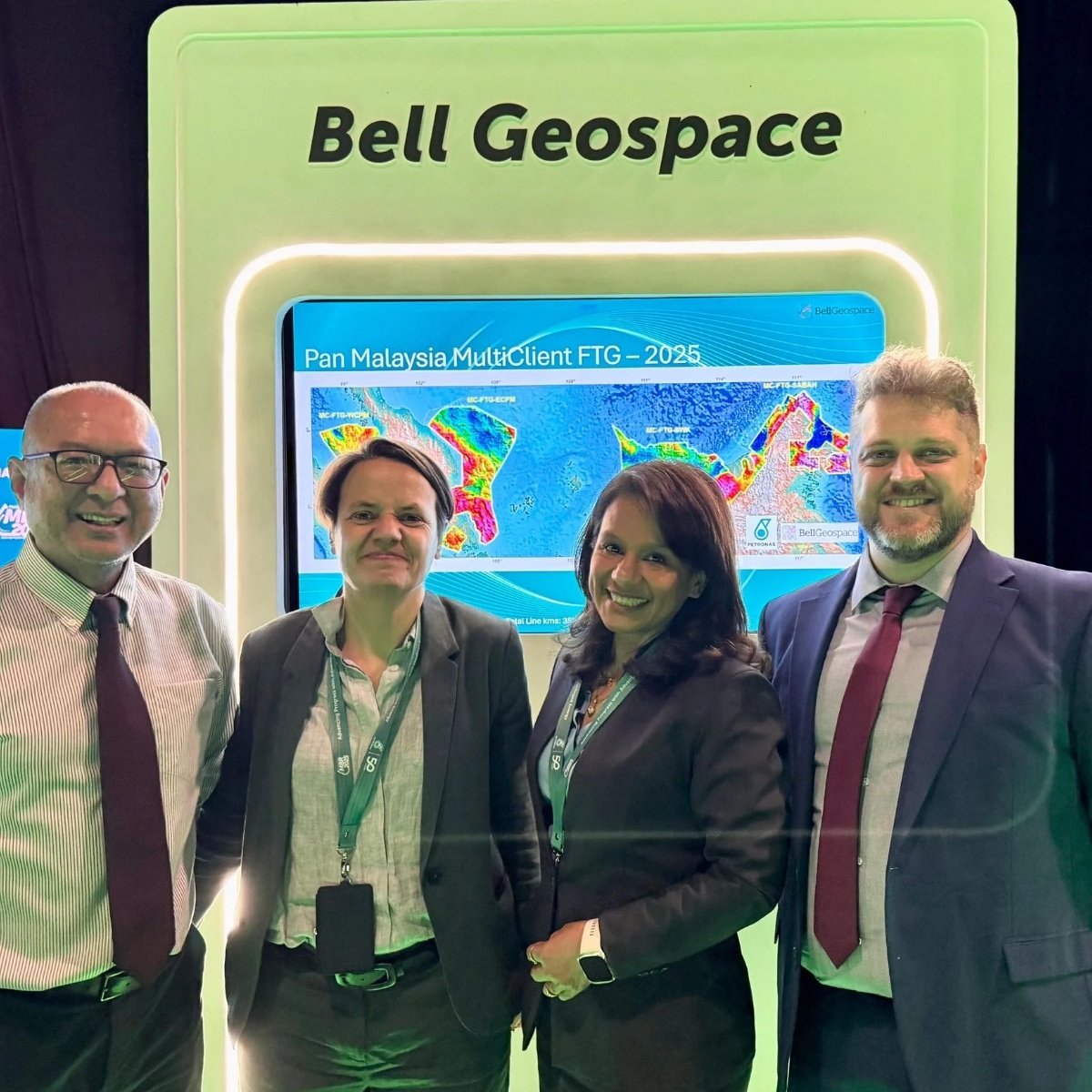
Malaysia MBR 2025, Data by Bell Geospace
Explore Malaysia’s Subsurface Potential with Full Tensor Gradiometry (FTG) & Magnetics
Bell Geospace has acquired high-resolution Airborne Full Tensor Gradiometry (FTG) and Magnetic data across Malaysia, providing a powerful tool for explorers in the latest bid round. This cutting-edge dataset delivers unparalleled insights into basin architecture, structural complexity, and new play opportunities—helping you make informed exploration decisions with confidence.

Full Tensor Migration (New in 2025)
Unlocking the full potential of gravity gradiometry data, our Full Tensor Migration (FTM) technology delivers unparalleled subsurface insights:- Advanced 3D Depth Filtering – Precisely separates geological signals for clearer interpretation.
- Automated Unconstrained Inversion – Efficiently generates high-resolution subsurface models with minimal assumptions.
- Density Field Migration – Converts gravity data into actionable depth-domain insights.
- Subsurface Depth Sensitivity Mapping – Enhances understanding of geological structures and potential hydrocarbon plays.
Malaysia-Wide FTG & Magnetics
Bell Geospace has acquired a comprehensive Full Tensor Gradiometry (FTG) and Magnetic dataset across Malaysia, delivering high-resolution insights across all key basins:
- Coverage of All Producing Basins – Supporting regional and block-scale exploration.
- High-Resolution Acquisition – 2km line spacing with targeted infill to 1km for enhanced detail.
- FTG & Full-Spectrum Gravity Mapping – Resolving top basement structures and intra-basin complexity.
- Magnetics for Basement & Igneous Characterization – Providing essential context for petroleum system analysis.
The MC-FTG Value Proposition
Bell Geospace’s Multi-Client FTG dataset is a game-changer for explorers, offering:
- Basin & Basement Delineation – Accurately defining structural boundaries.
- Intra-Basin Complexity – Mapping the fine-scale geological fabric.
- Structural & Stratigraphic Insights – Detecting carbonates, basinal troughs, channels, inversion structures, fault networks, and closures.
- Clear Sensitivity Mapping for New Play Opportunities – Identifying untapped potential in mature and frontier areas.
Deliverables are relevant, tailored and user-friendly
Comprehensive geological maps will be ready to integrate with complementary datasets
Bespoke training courses and workshops are available on request.
All Packages
- Full data suite...
- ...includes located line gridded outputs
- Raw and processed FTG
- Gravity & Full Spectrum Gravity
- Raw and processed Magnetics
- GeoTiffs imagery all processed data
- Full Processing reports
Base Package
For Lead Generation
- Full Tensor Migration
- Depth Interval mapping
- Structures and Lineaments from FTG
- Igneous and volcanics from Magnetics
- Regional depth to Basement
- Geological observations and assessment of Generated Leads
- Full documented report, digital grids and GIS imagery
Advanced Package
Fully Constrained Inversion
As per Base Package, plus:
Full integration with available seismic, well and other data.
- Depth maps to crystalline basement and Pre-Tertiary basement
- Detailed assessment on key plays, e.g. carbonate, blocks, sinks, channels etc
Optional Extras
- Integrated seepage & anomaly analysis
- Heat Flow studies