
A clear and bold heading
Commencing From November 21st.
A New Airborne Geophysical Survey for ZeroGeo Energy GmbH in Lower Saxony
Commencing From November 21st.
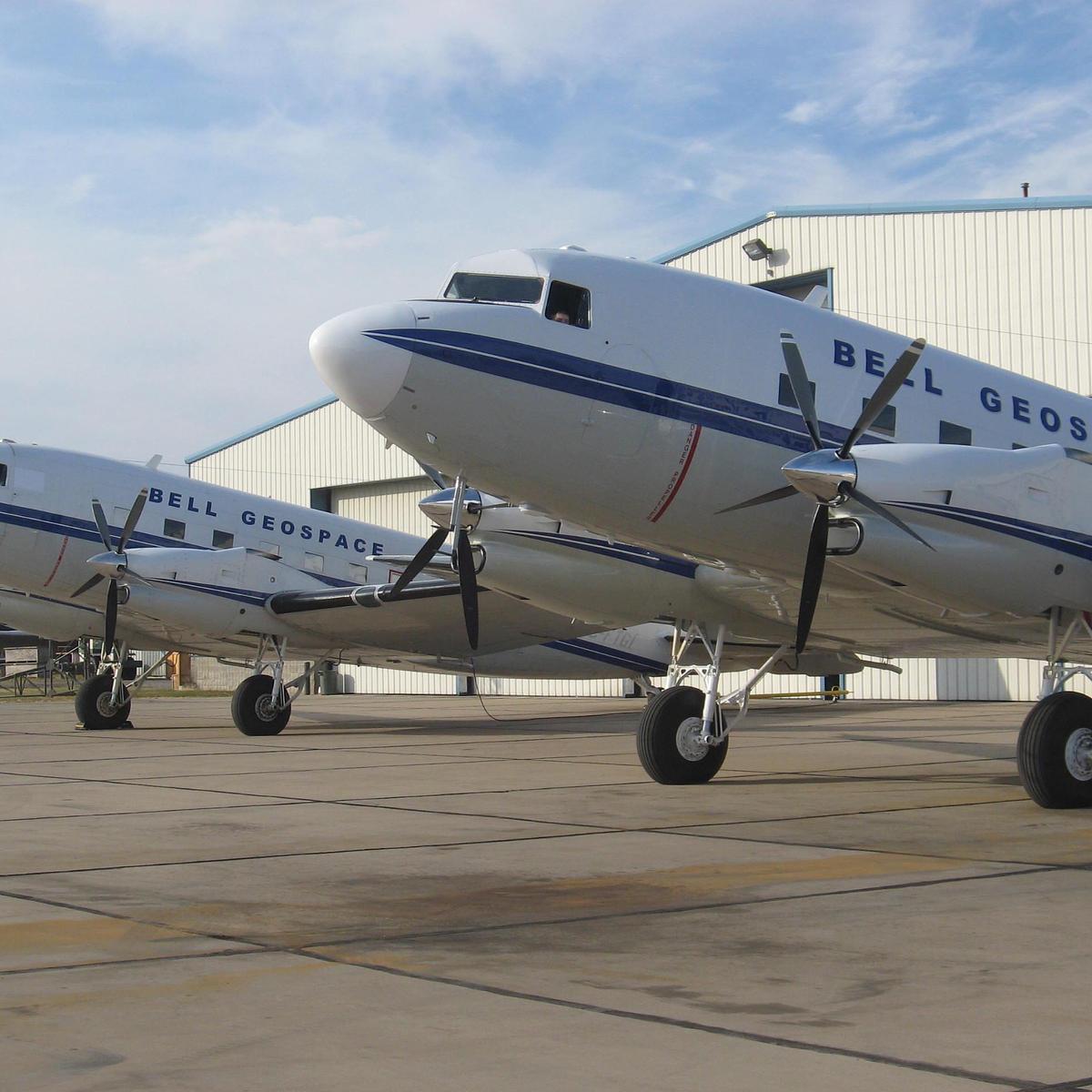
10-11-22 Bell Geospace, the UK-based airborne geophysical surveying company, is commencing operations this month in the Lower Saxony region.
The survey will take around three weeks and involve a plane flying in straight lines at an average height of 200 meters to collect geophysical information on the properties of rocks below the ground. The information being collected creates geological maps. These maps will be used by ZeroGeo Energy GmbH to better understand the deep geothermal resources in the area. It is the first time that this technology has been used in Europe to explore for geothermal resources.
The airborne survey involves measuring minor variations in the Earth’s gravitational field. Sensitive measuring equipment located in the aircraft will be used to gather this data. It is a totally passive technique which does not involve sending out any signals or sound waves. Bell Geospace is one of the only two contractors in the world that can do this type of survey. They have been in the geophysical surveying business for over twenty-five years, have an unblemished safety record and an experienced field and office crew.
Flights will take place early morning, with take-off at around 7am. Flights typically last between four and five hours.
Livestock owners and parishes in the area are being contacted by email and social media. It is possible for residents and any interested parties to find out more at www.projekt-thermo.energy or by calling the Projekt Thermo helpline, +49 800 182 1258.
More information
Projekt Thermo Flight FAQ, https://www.projekt-thermo.energy/faq
Projekt Thermo email, projekt-thermo@bellgeo.com
Projekt Thermo facebook, Projekt Thermo
Projekt Thermo helpline, +49 800 182 1258
